Park Interactive Trail Maps
Interactive Trail Maps
Map Legend
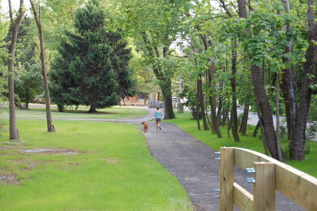
Hiker ~ trail entrances and exits; this icon has a photo associated. The name of the trail is also listed.
Camera ~ trail junction, this icon also has a photo associated.
Yellow Trail ~ trail name, distance, location and surface material.
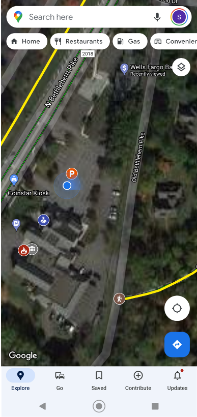
P ~ parking locations
Basketball ~ basketball courts
Racquet ~ tennis court
Baseball ~ baseball fields
Swing ~ playgrounds
Picnic Table ~ picnic pavilions
How to Use this Map
If you are using this map from a desktop, laptop or tablet.
Move your mouse (or use your finger if using a touch screen) over the map.
Zoom in/out by using the scrolling feature on your mouse or pinching your fingers to make an image larger or smaller.
By clicking on any feature of the map such as:
Hiker, a description of the trail entrance will show and a photo will appear.
Camera, will show a trail junction along with a photo of the trail junction.
Trail, will give you the name of the trail, distance and surface material.
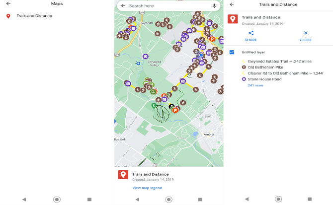
How to Access the Trail Map and save it to your mobile device in Your Google Maps:
Click HERE to open the map on your mobile device.
You may be prompted to open the map using Google Maps, click yes.
The map with all the features will now appear on your phone.
It will look overwhelming because of all the trails, icons, etc.
Use your finger to move the map around and use two fingers to zoom in/out over certain areas.
If there is a trail you wish to look at, zoom into that area and you and tap the camera or hiker icons and a photo of the area will appear.
Once you are at a location, pull up Google Maps, make sure your blue dot is visible. If your dot is not visible above the blue direction box on the bottom part of your screen there should be a round circle with what appears to be a target. Tap that and your blue dot should appear at your location. In your phone settings you should make sure that your location is on, otherwise this will affect the accuracy. The blue dot shows the location. The blue fan hue, shows current orientation, direction in which your phone is facing.
From here you can begin your journey in exploring the trails.
Click on any of the icons and information will appear at the bottom of your screen. If you click on More info, the full description and photos will appear.
To Hide the map, click anywhere on the map and at the bottom of your screen a tool bar will appear.
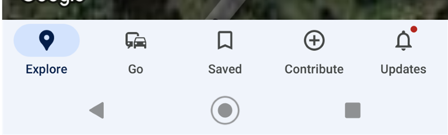
Tap on Saved.
Scroll until you see a small icon with Maps.
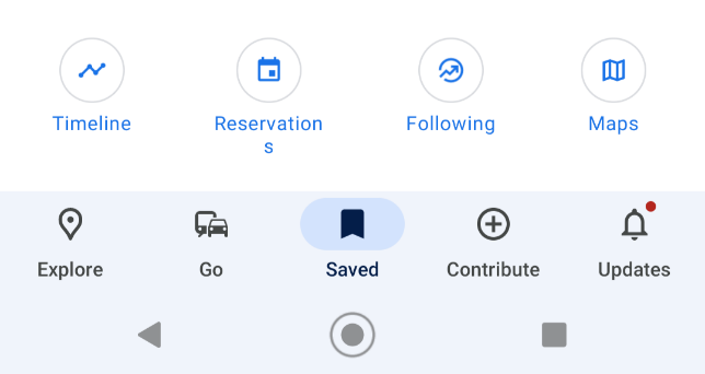
Here a listing of any maps you have will appear, to hide the Parks & Trail Map, click on that listing, the map will appear.
At the bottom of your screen the name of the map will appear, tap on it.
Your screen will display the map name, a full listing of all the pin points and an option to Share or Close.
If you tap close the map will turn off on your phone.
Back out of the app. Your map will be clear.
To bring the map back, after you open Google Maps.
Tap Saved on the toolbar at the bottom of your screen.
Scroll to the Maps icon, Tap it.
A list of your maps will appear, click on Parks & Trail Map
The map will open.

TRAIL NAMES
P W – Penllyn Woods
P A – Pen-Ambler Park
T – Villages of Trewellyn
T E – Trewellyn Estates
T R – Trewellyn Reserve
M – Treweryn Farms
W P – Wooded Pond
O – Oxford Park
C – Centennial Trail
C H – Cedar Hill Trail
P – Penllyn Pike Trail
P S – Bird Sanctuary
D – Dager Road Trail
P O – Penn Oak Trail
Lower Gwynedd Township
Administration Building
1130 North Bethlehem Pike
Spring House,
PA 19477
Phone: (215) 646-5302 Fax: (215) 646-3357 contactus@lowergwynedd.org
Hours
Office Hours Mon-Fri: 8:00 am - 4:30 pm